Special Collections
Featured Maps! Sacramento City, County & Metropolitan Area
Theme for the week: Sacramento
May 29-June 14, 2018
The Capitol of California is just 15 miles away from Davis! Sacramento, the fastest growing populated city in CA, has plenty of features to offer. From museums to historic parks, and outstanding restaurants, Sacramento life provides amusement, experiences, and a day to remember. Come visit Shields Library Map Collection room and take a tour of the beautiful “City of Trees”.
Did you know: That Sacramento has around 120 parks?
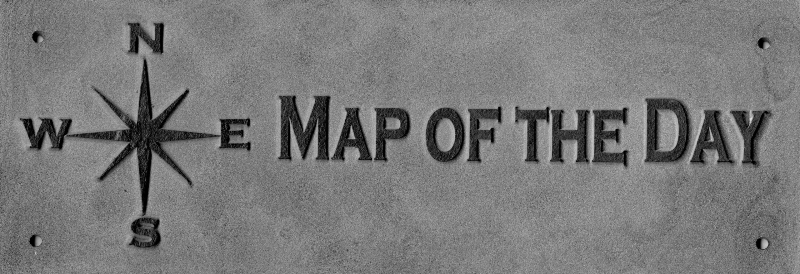
Come to the Map Collection and look for this sign:

Maps
Sacramento County Maps
Our wide variety of Sacramento maps includes emergency response plans, informing you on what to do if you need to take shelter or evacuate area during emergencies, such as locking all windows, or remembering to turn off appliances. We also have a colorful map of Sacramento’s general plan map which illustrates residential, commercial, industrial and open spaces areas. If you are curious of where recreational or agricultural lands are this map would be an interest to you! Students of Community and Regional Development can benefit from maps showing plans of the county during the latter half of last century, 1960-1990.
Title: Sacramento Valley breweries
by Aaron O’Callaghan, and Sacramento Beer Week (2016)
Call Number: MAP G4362.S33M8 2016 .S23
Title: Caltrans Sacramento Rideshare bicycle commuter map
by Sacramento Ride Share (1990)
Call Number: MAP G4363.S2E63 1990 .C2
Title: Now to 1990: physical development element of the regional general plan
by Sacramento Regional Area Planning Commission (1971)
Call Number: MAP G4363.S2 1971 .C2
Title: Census 2000 block map : Sacramento County
by Bureau of the Census (2000)
Call Number: MAP G4363.S2E25 2000 .C3
Title: Sacramento, a street map of metropolitan Sacramento & vicinity
by Compass Map (2007)
Call Number: MAP G4363.S2P2 2007 .C6
Title: Basic physical organization analysis of Sacramento County
by Planning Department (1963)
Call Number: MAP G4363.S2G45 1963 .S2
Title: Sacramento County, California, general plan
by Planning Department (1973)
Call Number: MAP G4363.S2G45 1973 .S2
Sacramento City & Metro Area
Along with County maps, we have some amazing city maps outlining Sacramento’s best features. From park & ride-share locations, to a unique perspective of downtown Sacramento buildings in the 1990’s, the list of maps is never ending! Come explore a 1940’s map of Old Sacramento that exhibits shops and restaurants, even where the Old Eagle Theater is and an underground railroad! Or, lets go back in time and see what Sacramento looked like in the 1800’s. And, take a look at some early maps of Sacramento City’s Bus and RT Metro locations.
Title: Midtown
by Sheila Verrips Advertising (1985)
Call Number: MAP G4364.S2 1985 .S4 (Vert. File)
Title: Street map of Sacramento
by H.M. Gousha, and Sacramento Metropolitan Chamber of Commerce (1996)
Call Number: MAP G4364.S2 1996 .H2
Title: 1990 downtown Sacramento
by Rhoda McKnight Design (1990)
Call Number: MAP G4364.S2A15 1990 .R4
Title: Sacramento
by Archar Inc (1973)
Call Number: MAP G4364.S2A5 1973 .A7
Title: Old Sacramento map & guide
by Old Sacramento Citizens & Merchants Association (1992)
Call Number: MAP G4364.S2:2O5 1992 .O5
Title: Vanishing Victorians
by Ann Brice (1973)
Call Number: MAP G4364.S2E644 1973 .B4 (Vert. File)
Title: Metropolitan Sacramento
by Metro Aerial (1999)
Call Number: MAP G4364.S21A4 s12 .M3
Title: The Metropolitan transportation plan
by Sacramento Area Council of Governments (1996)
Call Number: MAP G4364.S21P1 1996 .S2
Title: Caltrans Sacramento Rideshare, Park & Ride locations : Sacramento region
by Sacramento Area Council of Governments and Sacramento Rideshare (1991)
Call Number: MAP G4364.S21P23 1991 .S2
Map Collection: Location and Hours
The Map Collection room is normally open to the public in the basement (Lower Level) of Shields Library, Monday-Friday, 1:00-5:00 pm. However, our hours change around the academic calendar and the holiday season. To see the most accurate schedule, please visit the Map Collection page.
Contact the Special Collections Department for map related questions by email at speccoll@ucdavis.edu or by phone at 530-752-1621.
Post created by Dawn Collings and Patricia Wyley.