Featured Maps! Raised Relief Maps
Raised Relief Maps
Date: February 3-21, 2020
Maps are always a rich source of information about any region they depict. Some maps give a glimpse into the history of how people used to see the world, others can show how a city has developed over time, and some help the viewer to visualize how the topography of a region is shaped. When trying to envision the peaks and valleys of a specific area there is no better kind of map than a raised relief map. These maps are based on the same principal as a topographic map only the contours of the areas show are given physical depth by the plastic they are imprinted on. The purpose of the these maps are to be tactile, so when coming to view them feel free touch the peaks and valleys.
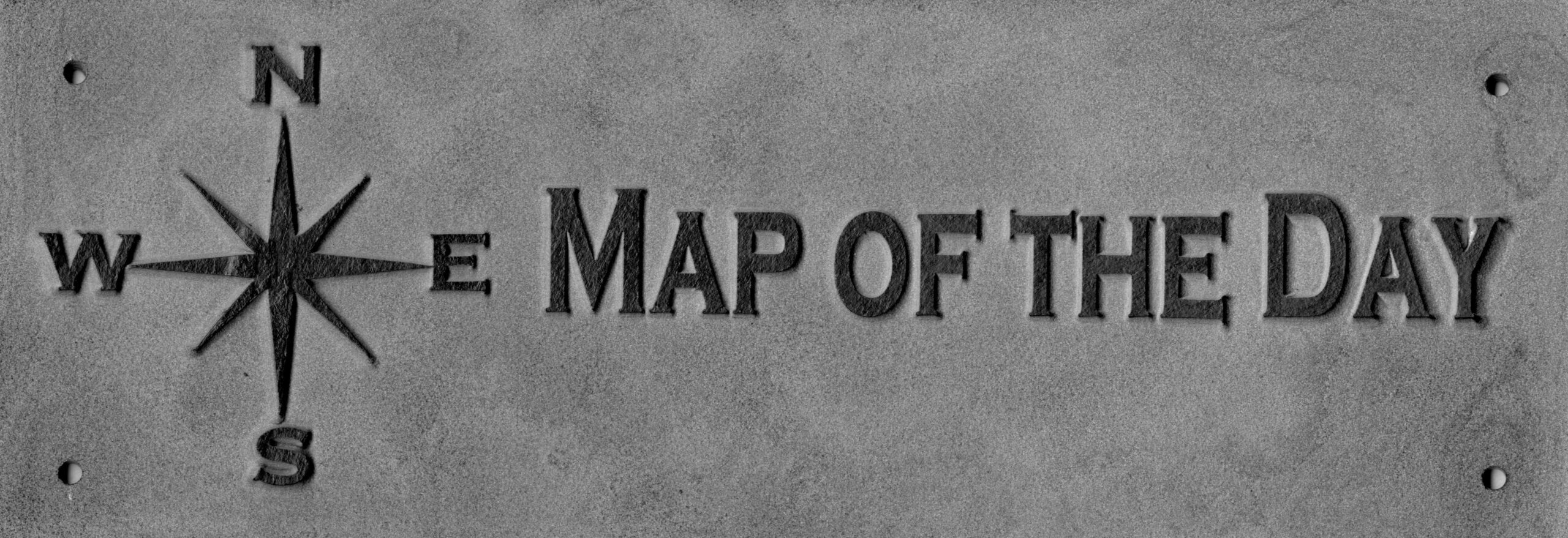
Come to the Map Collection and look for this sign:

Maps
World Regions
Maps show the topography of large land masses or the world as a whole. These maps can be useful in understanding the size of mountain ranges or the expanse of open plains on a global scale. With these maps it can be interesting to see how the Rocky Mountains compare to the Himalayas, or just how vast the great plains of the United States are.
Title: The World
by Kistler Graphics, inc. Jeppesen and Company (1968)
Call Number: G3201.C18 1968 .K5 Relief Drawer
Title: Europa
by Litografia artistica cartografica (1975)
Call Number: G5701.C18 1975 .L4 Relief Drawer
Title: North America
by Nova Rico (1980)
Call Number: G3301.C18 1980 .N6 Relief Drawer
Title: The United States of America
by Kistler Graphics, inc. Jeppesen and Company. (1968)
Call Number: G3701.C1 1968 .K5 Relief Drawer
Title: The United States of America
by Nystrom and Company. (1980)
Call Number: G3701.C18 1980 .N9 Hanging on Wall
States
Maps provide the change in topography of individual states. These maps allow for a closer look at the localized influence of individual mountains or the breadth of wide valleys. Observing these maps you can see the might of the lone standing Mount Rainier in Washington State or the deep gash in the Sierra Nevada that is Death Valley in California.
Title: California
by Kistler Graphics, inc. (1968)
Call Number: G4361.C1 1968 .K5
Title: Alaska
by Kistler Graphics, inc. (1958)
Call Number: G4371.C18 1958 .K5 Relief Drawer
Title: Washington
by Kistler Graphics, inc. Jeppesen and Company.; H.M. Gousha Company. (1969)
Call Number: G4281.C18 1969 .K5 Relief Drawer
Title: Oregon
by Kistler Graphics, inc. Jeppesen and Company. (1968)
Call Number: G4291.C18 1968 .K5 Relief Drawer
Title: Arizona
by Kistler Graphics, inc. (1984)
Call Number: G4331.C18 1984 .K4
Cities
Maps provide the closest look at the change in topography surrounding a city. These maps emphasize why roads may travel in a winding direction or why certain industry has sprung up in a specific location. When viewing these maps it can be observed how the Grapevine towers over the city of Los Angeles, or the incredible size of Mount Shasta.
Title: Western United States
by U.S. Army Map Service. (1970)
Call Number: G4050 s250 .U51
Sacramento, California sheet
San Francisco, California sheet
Fresno, California sheet
Santa Cruz, California sheet
Santa Rosa, California sheet
Weed, California sheet
Title: Los Angeles
by Kistler Graphics, Inc. (1983)
Call Number: G4364.L81C18 1983 .K4
Map Collection: Location and Hours
The Map Collection room is normally open to the public in the basement (Lower Level) of Shields Library, Monday-Friday, 1:00-5:00 pm. However, our hours change around the academic calendar and the holiday season. To see the most accurate schedule, please visit this link: click here.
Contact the Special Collections Department for map related questions by email at speccoll@ucdavis.edu or by phone at 530-752-1621.
Post created by Dawn Collings and Ben Andrews.