Featured Maps! Mappae Mundi and Map Design
Theme for the week: Mappae Mundi and Map Design
June 18 – July 6, 2018
What makes a good map? If we consider road maps, we would answer with geographic accuracy. Since the purpose of a road map is to be used for navigation, we want it to be as close as possible to the physical world it depicts. However, what makes a road map good doesn’t necessarily make another map good as well.
The mappae mundi, Latin for “cloths or charts of the world,” are any medieval world maps from Europe. These maps are not meant to be accurate geographic representations of the world. A common assumption is that the T and O mappa mundi depicts a flat earth. It is actually meant to show the three land masses of known habitable world during Roman and medieval times. Mappae mundi illustrate classical learning and can be used as teaching aids for concepts such as cardinal directions, Bible stories, mythology, flora, and fauna. The most famous ones are the complex or great world maps, such as the Ebstorf and Fra Mauro maps in our collection. This mapping tradition came to an end with the Age of Discovery that began in the 15th century.
The Age of Discovery required a different kind of map: the portolan chart. These maps were based on compass directions and valued for their realistic depictions of shores. Based on European explorers who sailed along the Mediterranean and Black Sea coasts, these rough charts were useful for recognizing landmarks and navigating through smaller bodies of water.
Maps serve as instruments for different purposes. They can assist researchers in various fields such as ecology, sociology, and anthropology. As Europe turned to global exploration, mapping traditions adapted to changing demands and needs of map users.
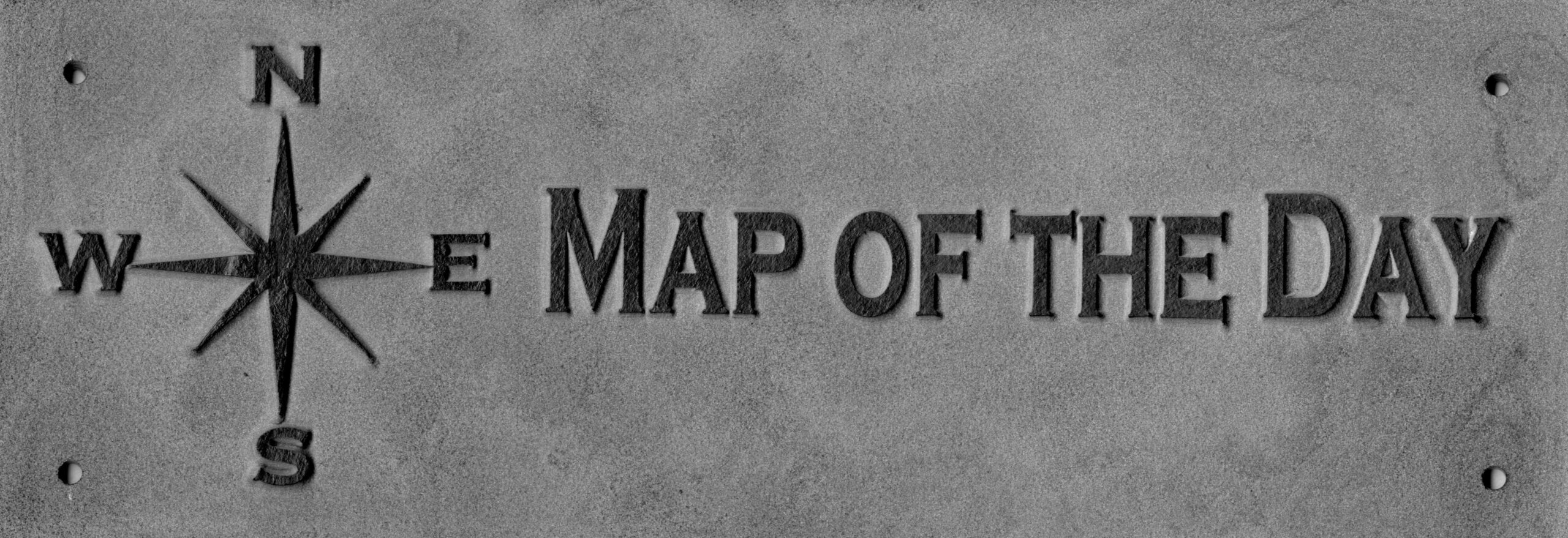
Come to the Map Collection and look for this sign:

Maps
Title: [Ebstorf world map]
by Gervase of Ebstorf (1284)
Call Number: MAP G3200 1284 .E2 + Explanatory Text
Title: Hanc quam videtis terrarum descripsit delineavitque Richardus de Haldingham sive de Bello dictus A. S. circa MCCC
by Richard de Bello (1290)
Call Number: MAP G3200 1290 .R4
Title: [Early worlds]
by Andreas Bianco (1436) and Petrus Bertius (1628)
Call Number: MAP G3200 sVar .E2
Title: [Andreas Walsperger’s map of the world]
by Andreas Walsperger (1448)
Call Number: MAP G3200 1448 .W2 1988 + Explanatory Text
Title: [The Leardo map of the world]
by Giovanni Leardo (1452 or 1453)
Call Number: MAP G3200 1452 .L4
Title: Il mappamondo, 1457-1459
by Fra Mauro (1459)
Call Number: MAP G3200 1459 .M2 + Explanatory Text
(An image of this map is shown on the cover of Reading the Past Across Space and Time: Receptions and World Literature, which is edited by Brenda Deen Schildgen and Ralph Hexter. 2016)
Title: [Jerusalem as the center of the world]
by Heinrich Bünting (1545-1606)
Call Number: MAP G5671.A5 1581 .B8 1980
Title: Orbis terrae descriptio : Genuensis anno Domini 1457
Author not given (1457)
Call Number: MAP G3200 1457 .T6
Title: Die Weltkarte des Ptolemäus
Based on Claudius Ptolemy’s Geography (150), engraved by Johannes Schnitzer (1482)
Call Number: MAP G3200 1482 .W3
Title: Universalis cosmographia secundum Ptholomæ traditionem et Americi Vespucii aliorv. que lustrationes
by Martin Waldseemüller (1507)
Call Number: MAP G3200 1507 .W2
Title: Piri Reis map
by Ahmed Muhiddin Piri (Piri Reis) (1513)
Call Number: MAP G3200 1513 .P4 1989 + Explanatory Text
Title: The Historic Mediterranean 800 B.C. to A.D. 1500
by National Geographic Society (U.S.), Cartographic Division (1982)
Call Number: MAP G5672.M4S1 1982 .N2
Title: Jehuda Ben Zara’s marine map of 1497
by Judah Abenzara, Sandra Sider (1497)
Call Number: MAP G5672.M4P5 1497 .J3 1988
Title: Judah Abenzara’s map of the Mediterranean world, 1500
by Judah Abenzara, Society of Jewish Bibliophiles (1500)
Call Number: MAP G6530 1500 .A2 + Explanatory Text
Title: Die Peutingersche Tafel
by Konrad Miller (1962)
Call Number: G1026.P4 M5
Title: Tabula Peutingeriana : le antiche vie del mondo
by Francesco Prontera (2003)
Call Number: GA304.P48 T33 2003
Title: The medieval Peutinger map : imperial Roman revival in a German empire
by Emily Albu (2014)
Call Number: G1033 .A45 2014
Map Collection: Location and Hours
The Map Collection room is normally open to the public in the basement (Lower Level) of Shields Library, Monday-Friday, 1:00-5:00 p.m. However, our hours change around the academic calendar (1:00-4:00 p.m., June 18-22 summer intersession) and the holiday season. To see the most accurate schedule, please visit the Map Collection page.
Contact the Special Collections Department for map related questions by email at speccoll@ucdavis.edu or by phone at 530-752-1621.
Post created by Dawn Collings and Jeanelle Wan.